
Des millions de personnes utilisent Freelancer pour concrétiser leurs idées.
Approuvé par des grandes marques et des startups



Geographical Information System (GIS) is a powerful technology that captures, stores, analyzes, and visualizes spatial or geographic data. GIS experts transform location-based data into interactive maps and insights, aiding in urban planning, environmental management, logistics, and market analysis. By leveraging GIS, businesses can identify patterns, trends, and relationships that are essential for strategic decision-making across various industries.

Ready to unlock the full potential of your spatial data? The best way to find a quality Geographical Information System Expert is on Freelancer. Freelancer has GIS experts for every budget, making it the easiest way to connect with top talent. Plus, Freelancer's Milestone Payment system ensures you only pay when you're 100% satisfied.
Publiez gratuitement votre projet et entrez en contact avec des Geographical Information System Experts qualifiés, prêts à commencer dès aujourd’hui. Comparez les offres, les évaluations et les portfolios, et ne payez que lorsque vous êtes satisfait du résultat.
~40 s
avant la première offre
14+
offres par projet
56+
Geographical Information System Experts en ligne
Aucun frais à l’avance. Ne payez que lorsque vous êtes satisfait du travail réalisé.


8,3
8,3
98%

Lahore, Pakistan
$30 USD par heure

6,8
6,8
84%

KAKAMEGA, Kenya
$50 USD par heure


6,3
6,3
99%

Durgapur, India
$10 USD par heure

9,4
9,4
98%
Karachi, Pakistan
$20 USD par heure

9,1
9,1
99%

Antalya, Turkey
$45 USD par heure

9,1
9,1
98%
Rawalpindi, Pakistan
$30 USD par heure

8,1
8,1
99%
Sitapur, India
$15 USD par heure

8,5
8,5
96%
Faisalabad Sadar, Pakistan
$12 USD par heure

8,2
8,2
98%
Kolkata, India
$20 USD par heure
Vous cherchez à engager un Geographical Information System Expert ? Voici les projets Geographical Information System (GIS) les mieux notés récemment réalisés sur Freelancer, sélectionnés parmi les avis vérifiés de clients ayant attribué une note de 4,5 étoiles ou plus, et actualisés chaque mois.
LE PROJET
On-site residence verification was conducted at a US address, with photos and observations of the property and surrounding area delivered per client guidelines. The freelancer carries a 100% completion rate across a perfect on-time record.
AVIS CLIENT
Great work on this project! The task was completed professionally and on time. Thank you for your cooperation and support.
Photography · Field Technical Support · Construction Management
LE PROJET
A GIS professional evaluated a soil and site intelligence report for workflow integration, delivering specific recommendations on GeoJSON standards, metadata, and PDF usability. The feedback was drawn from direct data inspection, earning strong praise for its candor and actionable detail.
AVIS CLIENT
**Final Profile Review for [redacted] Jogu** [redacted] delivered a thorough, evidence-based GIS review of the UK pilot package. His work examined the PDF and GeoJSON outputs, QGIS workflow fit, metadata and source transparency, geometry behavior, and flood-screening scope. He identified specific cross-output and jurisdiction-related issues. The supplemental technical report added useful reproducibility detail, including coordinate, geometry, and Environment Agency verification evidence.
Report Writing · Remote Sensing · Geospatial
LE PROJET
Built a Google Maps–based drawing editor with editable lines, polygons, and shapes, plus per-object styling controls and in-place text labels in a clean, modular front-end architecture. The [redacted] noted high-quality work delivered ahead of schedule.
AVIS CLIENT
Great experience working with Matthew. He understood the requirements right away, delivered high quality work ahead of schedule, and made the whole process smooth and easy. I'd definitely work with him again.
JavaScript · CSS · User Interface / IA
LE PROJET
A GIS specialist mapped land parcels and identified properties sitting at least 1,000 feet from any residence, school, or daycare. The client noted the work was completed quickly and knowledgeably.
AVIS CLIENT
He was extremely knowledgeable and very quick at getting it done. Will definitely use him again!
Data Processing · Excel · Cartography & Maps
LE PROJET
A site visit to a residential address in Afghanistan was conducted, capturing photos and observations of the property and surroundings. The work earned a 5.0 rating and a 100% completion rate from the client.
AVIS CLIENT
Great work on this project! The task was completed professionally and on time. Thank you for your cooperation and support.
Photography · Project Management · Logistics
A Geographical Information System (GIS) expert captures, analyzes, and visualizes spatial data to help organizations make location-based decisions across mapping, planning, environmental monitoring, and infrastructure projects. Hiring a freelance GIS specialist gives you on-demand access to cartography, geospatial analysis, and remote sensing skills without the overhead of a full-time hire.
A GIS consultant turns raw geographic data into maps, models, and reports that drive real decisions. They work with vector and raster data, satellite imagery, GPS feeds, LiDAR point clouds, and demographic datasets to answer questions about where things are, why they are there, and what should happen next.
Typical engagements include producing thematic and analytical maps, building spatial databases, performing suitability and proximity analysis, and developing custom web mapping applications. A skilled GIS analyst translates complex coordinate systems and projections into outputs non-specialists can act on, whether that is a planning report, a fleet routing dashboard, or a flood risk assessment.
Scope varies by project, but most freelance GIS work falls into a defined set of deliverables that buyers can specify in a brief.
Strong GIS specialists are fluent across both proprietary and open-source stacks. Look for hands-on experience with the toolset that matches your project.
Geospatial expertise applies anywhere location matters. Common use cases on Freelancer.com include:
Geospatial work is technical, and a polished portfolio is the clearest signal of competence. Review sample maps for cartographic quality, correct projection use, clean symbology, and meaningful analysis rather than decorative styling. Ask for evidence of end-to-end project delivery, not just screenshots.
Qualifications worth confirming include a degree in geography, geomatics, environmental science, or a related field, plus practical certifications such as Esri Technical Certifications, GISP, or remote sensing credentials. Look for code samples on GitHub if the project involves automation, scripting, or web development.
Useful interview questions to ask shortlisted candidates:
Freelancer.com gives you access to a global pool of geospatial professionals spanning cartographers, remote sensing analysts, geodatabase administrators, and full-stack web GIS developers. You can post a project on Freelancer.com and receive competitive bids within hours, then compare portfolios, ratings, and verified reviews before committing.
The platform supports projects of any scope, from a one-off map production task to a multi-month geospatial analytics build. Milestone Payments protect your budget by releasing funds only when work is approved, and built-in chat keeps technical discussions, file transfers, and revisions in one place. Whether you need a quick QGIS deliverable or a long-term ArcGIS Enterprise consultant, freelancers on Freelancer.com cover every specialization in the geospatial field.
Hiring a GIS specialist is straightforward when your brief reflects the spatial nature of the work. The clearer you are about data inputs, output formats, coordinate systems, and analysis goals, the more accurate the bids you will receive. The process below walks through posting, reviewing, and awarding the project on Freelancer.com.
Your project post is the single biggest determinant of bid quality, because GIS work depends on precise technical inputs. A vague request for "a map" produces vague bids; a brief that specifies datasets, projections, and deliverable format filters for genuinely qualified candidates. Head to the
Bids are short proposals that reveal how each freelancer interprets your brief. Strong GIS proposals reference the specific tools they would use, raise questions about data quality or projection choices, and outline a realistic workflow rather than just quoting a price. Read each proposal carefully and shortlist candidates whose technical understanding matches the project.
The final decision combines proposal quality with the evidence on each freelancer's profile. For GIS work, weigh consistency across multiple projects rather than relying on a single impressive map. Cartographic clarity, sound projection choices, and accurate analysis should appear repeatedly in their portfolio.
Simple deliverables such as a single thematic map or a small digitization task can be completed in a few days. Larger engagements involving custom geodatabase design, remote sensing analysis, or web GIS development typically run several weeks to a few months depending on data volume and revision cycles.
A GIS analyst focuses on spatial analysis, cartography, and producing insights from geographic data. A GIS developer builds applications, automates geoprocessing, and integrates spatial functionality into web or enterprise systems. Many freelancers cover both, but for heavy coding or web mapping projects you should specifically confirm development experience.
Yes. Many buyers post short projects for a single map, a georeferencing job, or a one-time data conversion. Provide the source data, projection requirements, and intended output format in your brief to attract focused bids.
At minimum, share the area of interest, the questions you want answered, and any existing datasets such as shapefiles, GeoTIFFs, CAD drawings, or CSVs with coordinates. If you do not have data, a GIS specialist can source open data from providers such as OpenStreetMap, Sentinel, Landsat, or government portals.
For most defined projects, a freelance GIS expert delivers the same technical quality with faster turnaround and direct communication. Agencies make sense only when you need a multidisciplinary team for very large infrastructure or enterprise rollouts.

Freelancer Enterprise
Utilisez notre communauté de 90.3 millions de professionnels pour aider votre entreprise à aller plus loin.

API Freelancer
Pourquoi embaucher des personnes lorsque vous pouvez simplement intégrer notre force de travail talentueuse du cloud à la place ?




Publiez un projet aujourd'hui et obtenez des offres de freelances talentueux
Inspirez-vous avec des projets de Geographical Information System (GIS)
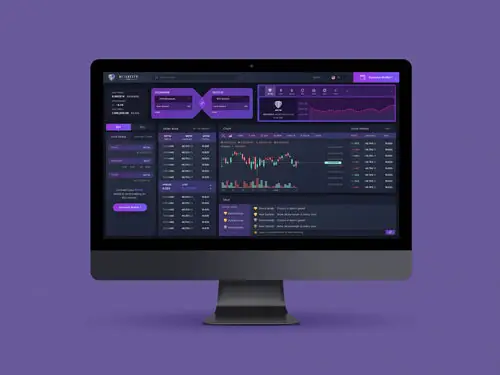
Design de sites Internet.
540 $ US en 7 jours.

Design d'applications.
100 $ US en 1 jour.

Site Internet.
430 $ US en 1 jour.

Design de sites Internet.
140 $ US en 13 jours.

Design d'applications.
200$ US en 19 jours.
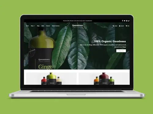
Site Internet.
150 $ US en 13 jours.

Site Internet.
240 $ US en 1 jour.
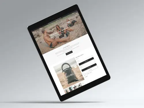
Site Internet.
100 $ US en 1 jour.


Des millions d'utilisateurs, depuis les petites entreprises jusqu'aux grosses compagnies, depuis les entrepreneurs jusqu'aux startups, utilisent Freelancer pour donner vie à leurs idées.
90.3M
90.3M
Utilisateurs enregistrés
25.9M
25.9M
Total des travaux publiés
Freelancer
À propos
Termes
Partenaires
Applications